

| mars-news.de |
|
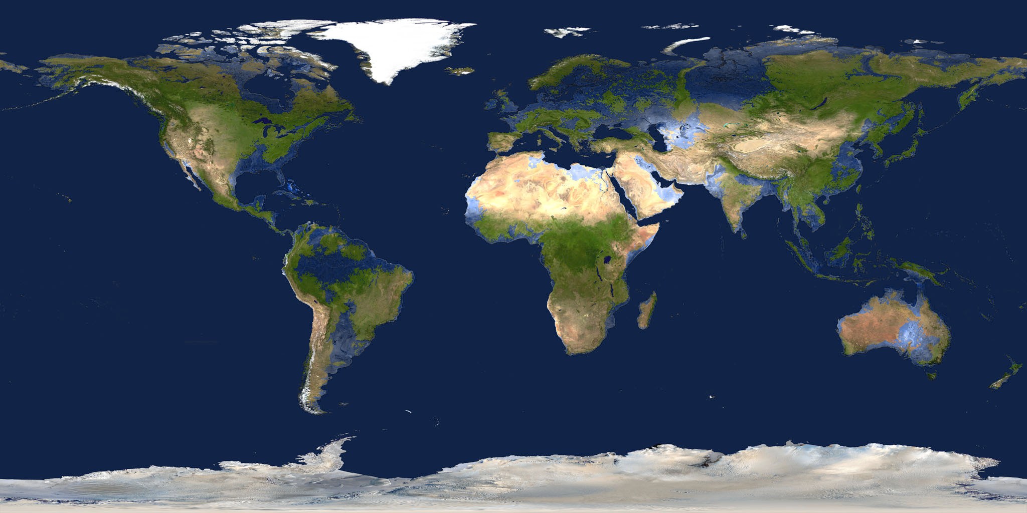
On this cartography of the 178 meters raised sea level, the flooded areas are colored light blue.
If you have questions concerning the computing,
or if you have means for more exact calculations,
email to web@areo.info
The World map is based on NASA Goddard Space Flight Center, The Blue Marble and NOAA, ETOPO2.
| previous page | 10 / 10 | first page |
| © Holger Isenberg web@areo.info http://mars-news.de |
Updated 2nd edition published in 2025: Giza, Center of Earth? article on X |
last modified: 10/20/2003 published on: 10/19/2003 |